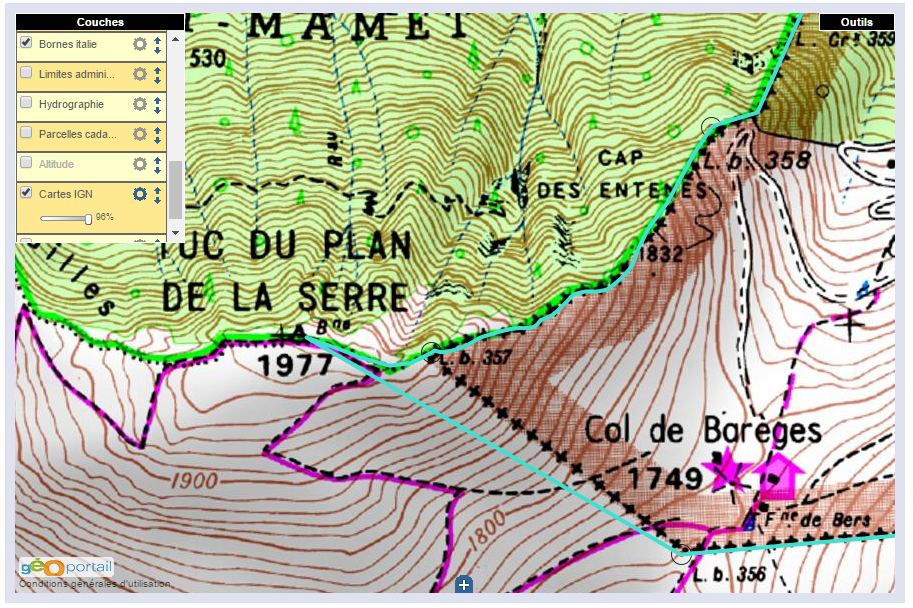
We have discussed this topic a lot of times: how the borderline between bm356 and 360 was meant to be, according to the Treaty of 1862, and how it was reconstructed (wrongly, I think) in the 1950-ies. See the previous post and this one.

(the blue line is the proposed new borderline, to my opinion the one meant in 1862)
In the 1950-ies, all borderpillars in this area had disappeared since long, leaving traces in only some rare cases. Thus the locations of almost every bordermarker (they had to be rebuilt) had to be reconstructed by matching the descriptions and distances in the Treaty with the terrain.
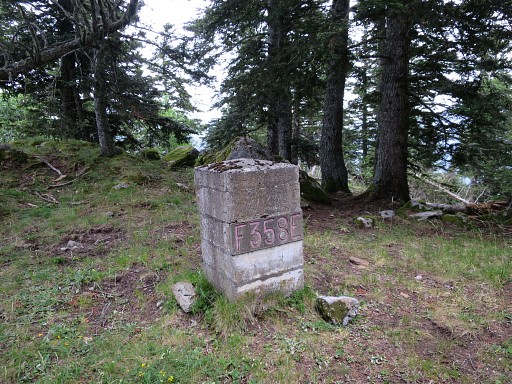
Jean Sermet writes in his “Journal de la restauration de l’abornement de la Haute Garonne” (1957) that the location of bm358 was however indisputable (at its current position) but he gives (in this article) no argument for that. If that location was indisputable, it fixes inevitably the locations of bm357 and 359 because the distances in between are described in the Treaty. But as said, he gives in his “Journal” no proof of his assertion.
We all know that Charles Darrieu is an great admirer of Jean Sermet, defending his work and decisions but always by presenting evidence, see his comments at the previous post. In this case, he has found the following phrase of Jean Sermet in the magazine Pyrénées n°131 – JUIL-SEP 1982 p 238: “Il n’y avait pas d’erreur pour le Cap des Entenés et d’autant moins que l’on y retrouva la base de l’ancienne borne 358 de 1863.” So: the remnants of the old bm358 were still present at that time! And that’s a real ‘smoking gun’ in this discussion.
Nowadays, there are no visible traces of a former bm at the location of bm358 but if it was the case in the 1950-ies, it solves and ends this dispute.
But I’m a bit stubborn and in my opinion my hypothesis fits best in the text of the Treaty of 1862. I haven’t found yet old topographic maps of the first half of the twentieth century or earlier. I think they would give the ultimate answer to this question. Or: the discovery of the original bordercross 359.

