

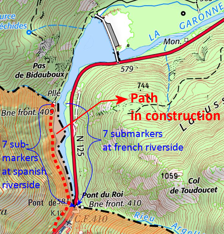
In the middle of the Pyrenees, we find the river Garonne, originating in Spain and passing into France at Pont du Roi. The borderline follows the thalweg (= the line of deepest points) of the river for ± 750m. marked by bm409 and 410 at the north and south side of that stretch.
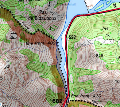
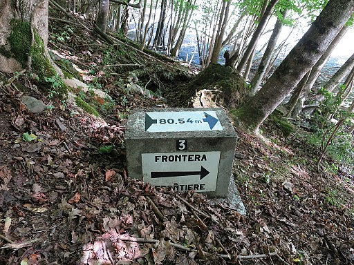
After the building of a barrage in France in the 1960-ies, the water level in the riverbed increased and its width got enlarged. To mark the borderline (thalweg) in the river 14 submarkers were placed along the elevated riversides. Seven on the Spanish riverside and seven on the French side, each showing the distance to the thalweg. They all look like this one:
Carlos and Conchita Roca (of this website) discovered last week that at the Spanish side, a concrete path is in construction, connecting the Spanish road south to bm409.
Let’s show some of Carlos & Conchita’s pictures:
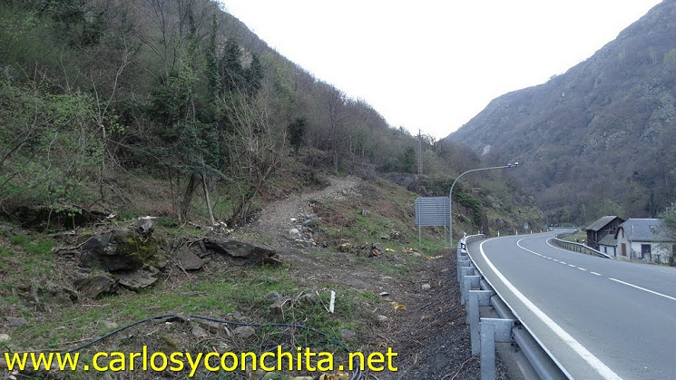
This picture shows the connection to be made with the Spanish road.
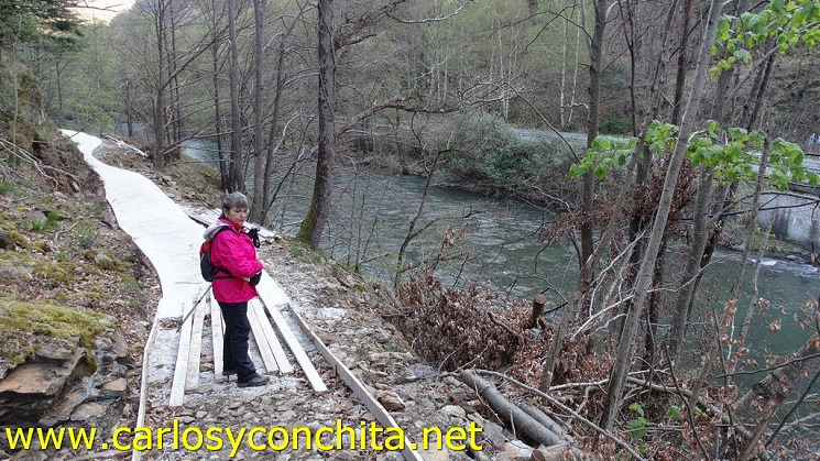 Further on we see how the concrete path-in-construction looks like.
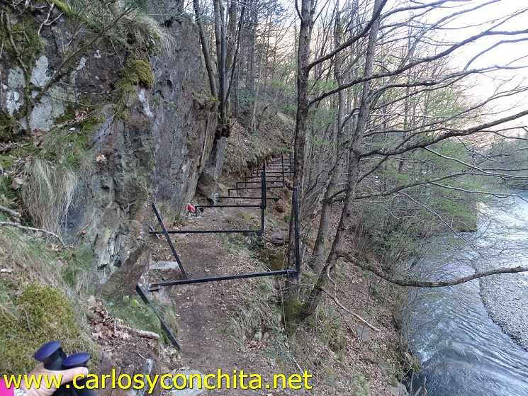 At the narrow parts, they are working at these kinds of constructions.
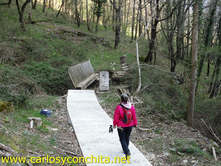 The concrete path is ending at bm409, with no sign of an extension north on French territory.
One wonders why such an effort is made: there was already a decent and scenic track along the river. A bit of improvement, safety cables at a few vertiginous spots, and a clear connection to the road south would have done the job. Never mind, I have another goal to check out in the summer when we can travel again (hopefully).