Tag Archives: Charles Darrieu

International summit on the 408-submarkers

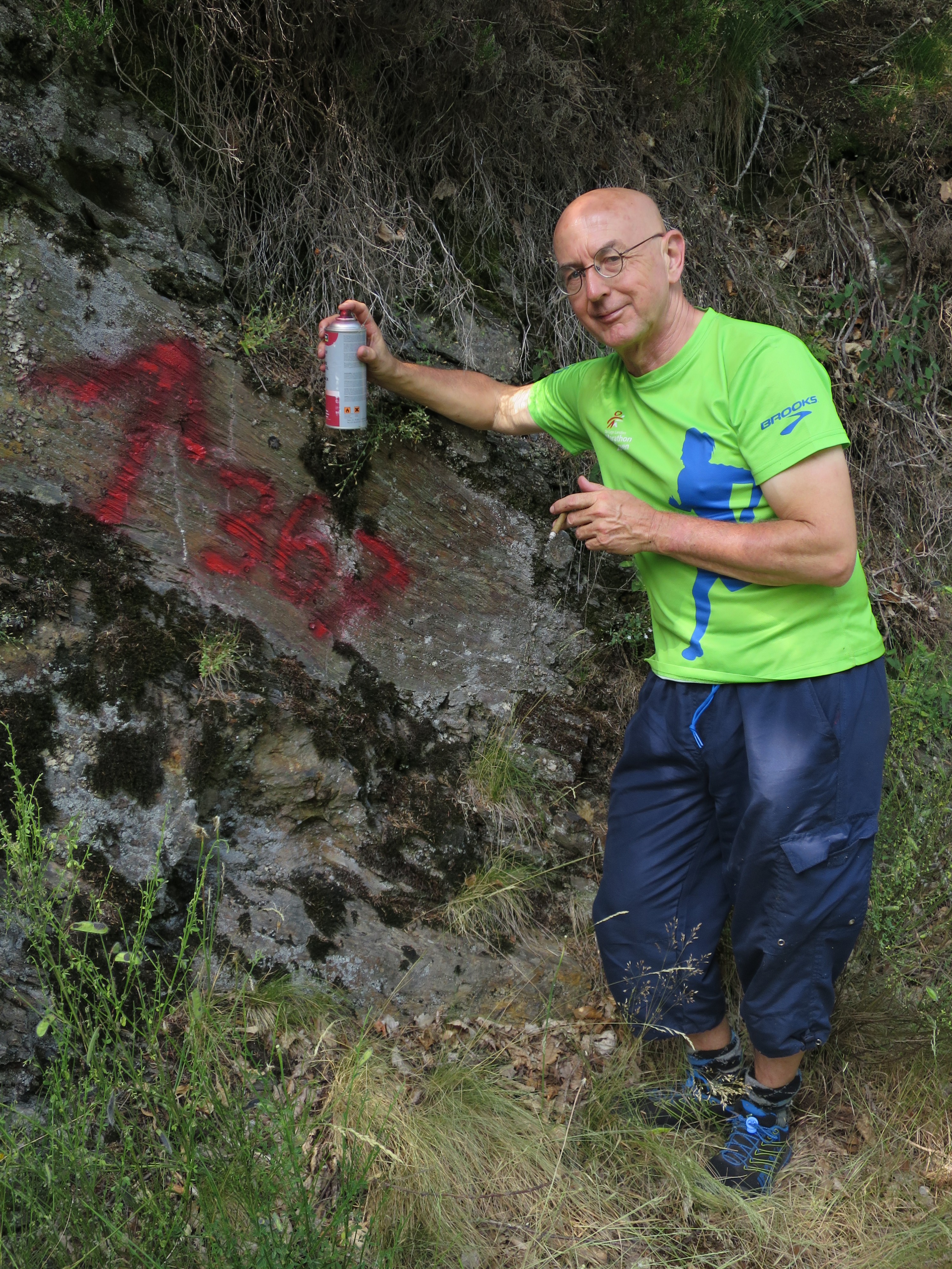
Yesterday was a historical day: a meeting at Cabane de Hérechet of Charles Darrieu and Michel Molia (French) with me (Dutch). We even had an international observer from Belgium: Henny.IMG_0975

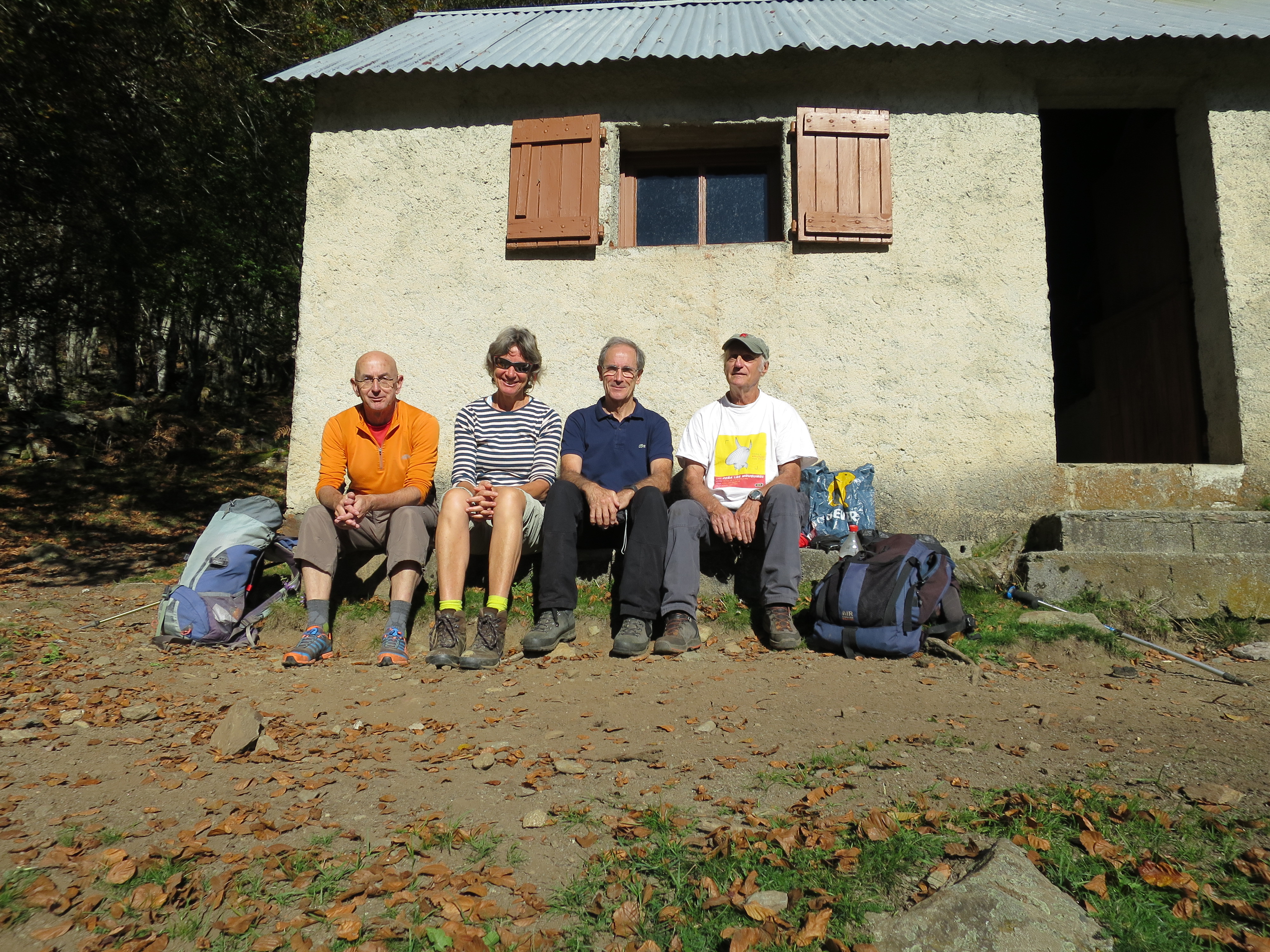
(from left to right: Eef, Henny, Charles, MIchel)
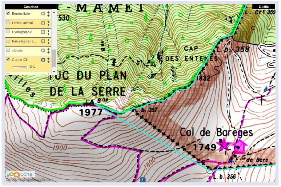
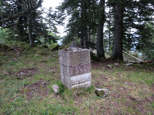
Both frenchmen have covered all the existing bordermarkers on the ESFR-borderline and are puzzled – like me – by the fate of the 408-submarkers III and IV. They were installed about 50 years ago on a steeps hillside but are now unfindable. These missing markers are linked with an intriguing story of how a local conflict about tresspassing led to a change of the international borderline (see
http://www.grpdesbf.nl/esfr-html-markers-408-submarkers.html)

Goals of our meeting: meeting each other and of course a last joint effort to find the missing markers. We didn’t find them (as expected) but we sure had a very pleasant and interesting meeting.

Charles-MIchel-Eef

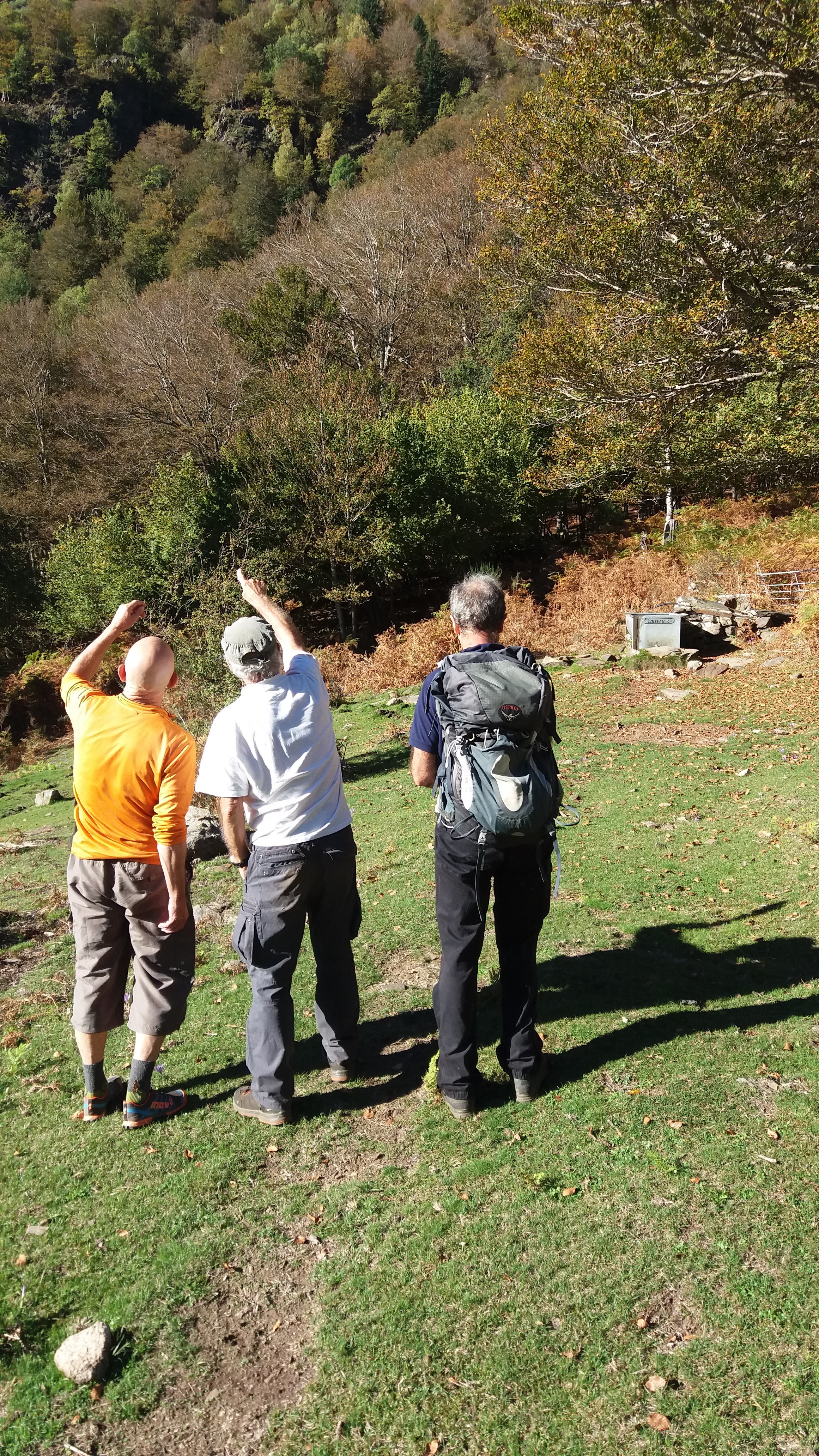
Conclusion: without a plan of the actual placement of the submarkers, there’s no clue where to search again after the numerous searches of us three.
There’s a French plan but buried somewhere in some archive but we now have a new link: a Spanish map kept in a Spanish archive.

Traces of the old bm358: the ‘smoking gun’ of Charles Darrieu

We have discussed this topic a lot of times: how the borderline between bm356 and 360 was meant to be, according to the Treaty of 1862, and how it was reconstructed (wrongly, I think) in the 1950-ies. See the previous post and this one.

esfr-map-bm356-357-2015agreement-new-borderline
(the blue line is the proposed new borderline, to my opinion the one meant in 1862)

In the 1950-ies, all borderpillars in this area had disappeared since long, leaving traces in only some rare cases. Thus the locations of almost every bordermarker (they had to be rebuilt) had to be reconstructed by matching the descriptions and distances in the Treaty with the terrain.

Jean Sermet writes in his “Journal de la restauration de l’abornement de la Haute Garonne” (1957) that the location of bm358 was however indisputable (at its current position) but he gives (in this article) no argument for that. If that location was indisputable, it fixes inevitably the locations of bm357 and 359 because the distances in between are described in the Treaty. But as said, he gives in his “Journal” no proof of his assertion.

We all know that Charles Darrieu is an great admirer of Jean Sermet, defending his work and decisions but always by presenting evidence, see his comments at the previous post. In this case, he has found the following phrase of Jean Sermet in the magazine Pyrénées n°131 – JUIL-SEP 1982 p 238: “Il n’y avait pas d’erreur pour le Cap des Entenés et d’autant moins que l’on y retrouva la base de l’ancienne borne 358 de 1863.” So: the remnants of the old bm358 were still present at that time! And that’s a real ‘smoking gun’ in this discussion.

Nowadays, there are no visible traces of a former bm at the location of bm358 but if it was the case in the 1950-ies, it solves and ends this dispute.

gp-esfr358-20150705-photo02

But I’m a bit stubborn and in my opinion my hypothesis fits best in the text of the Treaty of 1862. I haven’t found yet old topographic maps of the first half of the twentieth century or earlier. I think they would give the ultimate answer to this question. Or: the discovery of the original bordercross 359.

The bordercross 367 is not easy to find – even with a gps – hidden as it is in the forest. So I decided to help you with some waymarking by cairns and painting from the dirtroad into the forest. And while spraying the paint, I felt like a graffiti-artist. I think I missed my real vocation somewhere along the line of my life.
IMG_1924

And this waymarking is also a kind of tribute to Josette Darrieu – the wife of Charles Darrieu – who sadly passed away in april of this year. She was the one who – in 2007 – discovered this very bordercross under a layer of moss and earth.

And all this is part of a few days of intense bordermarker-research around Bossòst, searching again for the last unfindable bordermarkers: bm359, bm408 III & iV and 364.

The ‘bornés’ meet each other.

I was honoured to be invited on 12 april 2014 by Serge and Martine Poncet for an informal meeting of ‘bordermen’ or – mockingly in French – ‘bornés’ (freely translated as: stubborn on bordermarkers) who share a passion for the Pyrenean bordermarkers. Even a news-reporter was invited who wrote this article for the L’Indépendant-newspaper:  
article-independant-20140505   I felt happy to meet (again) Serge and Martine Poncet, Charles & Josette Darrieu, Alain Laridon, Cayetano and Jean & Carmen Iglesias while enjoying a delicious catalan-style meal. In the après-diner, I was lucky to sit in between the laptops of Serge and Charles, watching their pictures and listen to their stories, both testimonies of our shared passion.

Another cross found near bm002

We know that there are several crosses engraved close to bm002 and bm007. See this webpage on my website. They are older than the current bordermarkers and marked the border when there were not yet numbered markers. Close to bm002 there are two crosses engraved in the rocks but Robert Darrieumerlou recently found a third one on the rock 2 meters behind bm002.

He shows that third one on my compilation of the pictures of the Darrieu’s. But you can see this third cross far better on his own picture on this webpage. It seems so visible that one wonders how other searchers could miss it (but I didn’t find any of them).
And Robert found another unnumbered cross, between bm001 and 002 and the altitude of 245 meters: see this page

Does bordercross 251 still exist?

Jacques Koleck (see previous post) surprised me by his pictures of bordercross 251, taken in 2008. We know that in the 19th century a cross 251 was engraved but – being replaced by the current borderstone 251 – I assumed that this cross was lost. Charles and Josette Darrieu searched for it but couldn’t find it. See this page on my website.

But Jacques shows that it still existed in 2008 and Charles Darrieu sent a picture of Javier Sancho, dating from june 2012. And I will gladly return to make my own pictures. But where is this cross located? Comparing the various pictures with Google Earth and my own footage results in a most likely spot. But first the pictures of Jacques:

We’re looking to the west to the Port de Belhay where bm250 is located. Note the small darkgreen hilltop to the right which is visible at Google Earth. That makes it easy to determine a straight line (approx. west-east) from Port de Belhay to this cross somewhere in the rockslide.

And on this second picture, we are necessarily looking south-east because of the other angle we see the cross but the picture gives no other clue. But the picture Charles sent me, made it possible to draw another line. And where those two lines intersect ……

But first an overview from Google Earth (note: compass direction reversed -> South is up). Remarkable: the yellow borderline (according to GE) is south of the actual bm251. A question for later: where is the official border?

As said before, the crossing of the two straight lines should be the spot of cross 251. According to Google Earth it’s ± 50m to the SE (which is “NW” on this picture) of bm251. Jacques Koleck remembered that the cross was close to the old trail (not the red/white waymarked trail higher up) and on a “considerable” distance from bm251.

And finally an overview, as seen from Port de Belhay. Having watched this overview, Jacques Koleck added this information: “I think the cross is in the lower part of the circle, above the “old trail” and 20 meters of a large rock well visible on my photo with the Port de Belhay in the background. The cross “looks” east and is probably on a straight line between the stone marker 251 and the cross 252.” The 252-cross is just behind the lower end of the ridge, directly behind the circle.

TopoPirineos: a free and detailed map of the Pyrenees

I was surprised to learn from Charles Darrieu that there is an extensive and free hikingmap of the Pyrenees. It’s built to be used it in Garmin-software (Mapsource / Campbase) and on Garmin-gps-devices. You can download it from http://topopirineos.blogspot.fr/

Installing this map-software wasn’t that straightforward (at my computer): in the download-process the two files were renamed and that prevented a proper ‘unzipping’. So: when you have downloaded both files, check of they have the following names: ‘TOPO PIRINEOS 6.1.part1.rar’ and ‘TOPO PIRINEOS 6.1.part2.rar’ (of course without the ‘). If not, rename them. Finally you can ‘unzip’ them with software like Winrar of 7-zip. The unzipping gives a giant .exe-file which does the final installment. In Mapsource or Campbase you can chose this map as map-layer.

And what does this map offer? Well, every bordermarker is indicated (pillar or cross) but most of all we see many, many trails which we don’t see on the official IGN-maps. You can distinguish between official waymarked trails (and see their names) and other trails. It’s a treasury! An example: the access-routes to bm001:

A shortcut between bm271 and 272: confirmed!

The evidence presented in the previous post has been confirmed by Charles Darrieu. He and his wife Josette tried in 2008 the first part of the shortcut, starting from Col d’Anaye. They didn’t have enough time to climb to the ridge but they found a cairn-waymarked trail uphill.
Moreover: Charles showed how on the Topopirineos-map (see next post) this trail is indicated. And moreover: on Google Earth we can even spot the beginning of it on Col d’Anaye.

I made a kml-file of this connection: esfr-bm271bis-272-connection-on-topopirineos.kml

Let’s show some pictures: first an overview of the connection on Google Earth.

And now a view towards Col d’Anaye , approximately on 3/4 of the route from uphill to the Col.

And this picture shows the very beginning, when started from Col d’Anaye. If fact it’s very simple: from the current wooden signpost at Col d’Anaye, climb straight N and soon you will pick up the trail (hito = cairn).


Another magazine: les feuilles du Pin à Crochets

This French magazine on the Pyrenees – with a literary style & design – published in 2006 an edition on the border aspects of the Pyrenees. Charles Darrieu told me about it and helped me to receive it. Bibliographic data:
Les feuilles du Pin à Crochets numéro 7 – Pyrenées frontières
Pau : Éditions du pin à crochets, 2006. – ISBN 2-911715-32-2 (website: http://www.editionspinacrochets.com)

It contains 7 articles on a variety of Pyrenean border issues and is illustrated by lots of b&w pictures, including old pictures of borderpasses.

One of the articles has a link with a previous post on this blog. It’s about a ‘disputed’ triangular area between the summit of le Grand Batchimale (or Pic Schrader) and the borderpass with the original bm330. That borderpass was originally named Port de Clarabide but nowadays is shown on the maps as Port d’Agues-Tortes. The current Port de Clarabide is a few kilometers to the east.
The article shows lot of map-samples from over the years and also on older maps we see usually the name Port d’Agues-Tortes or similar. Only a few give it the name ‘Port de Clarabide’.

En busca de los hitos fronterizos

Which means: “in search of the bordermarkers”. I just received this book, mentioned in the previous post. I already learned that the Darrieu-couple are friends of Javier and María-Jesús Sancho-Esnaola. They assembled 6 volumes of information and pictures on the esfr-bordermarkers. That makes one jealous!

This ‘book’ is In fact a special edition of the Spanish magazine Pirineos.
Bibliographic data:
Pirineos Especial 9 – En busco de los hitos fronterizos : rutas por la Muga / Javier Sancho
El mundo de Pirineos. – junio 2010. – 147 p. / ISBN 978-84-8216-450-2

Javier Sancho describes 21 circular routes to bordermarkes – all along the esfr-border -with routes starting both in France and Spain. The maps could have been more elaborate but the photo’s are superb! I put the magazine on my reading list for Christmas to explore the details.