The border of the Spanish enclave of Llivia mainly crosses the fields around its pretty town in a pretty straight way and is marked with single bordermarkers. There are however two sets of double bordermarkers:
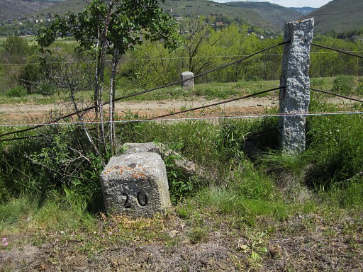
Bm17-21: with the borderline in the middle of the dirtroad between the double markers.
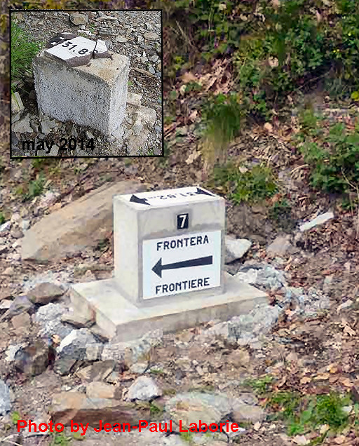
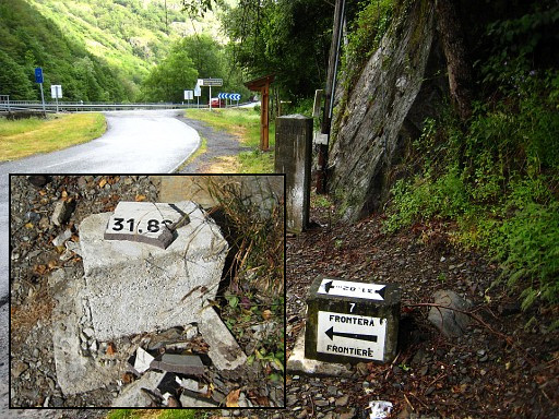
Bm31-34: with – I thought – the small stream between the double markers as the borderline.
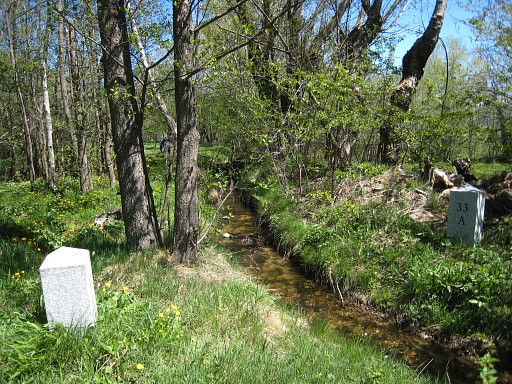
But, I discovered that this is wrong! The borderline is ± 5m to the north of the stream!
After getting a question of the well known border-expert Jan Krogh, I read the treaty (http://www.grpdesbf.nl/esfr-html-bibliography-treaties-llivia.html ) again:
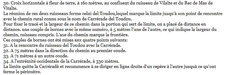
The text implicates that the double 31-34 markers once included a road north along the stream. The axe of that road was established as the borderline! One bm was placed at the N-side of the road, the other one at the S-side of the stream and the maximum distance between the double markers was said to be 5 meters. The road has disappeared and nowadays the double markers stand at each side of the little stream.
If you watch the French IGN-map, you can see the old positions of the bordermarkers and the original borderline (and the positions of the new ones as established with my gps).
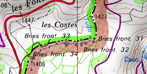
At some point of time, the dirtroad has disappeared and out of convenience and ignorance- I think – the bordermarkers were placed on either side of the stream. But the borderline is still north of the stream.
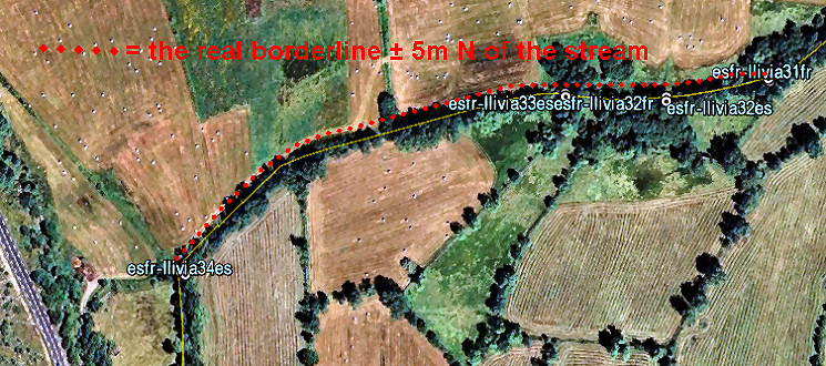
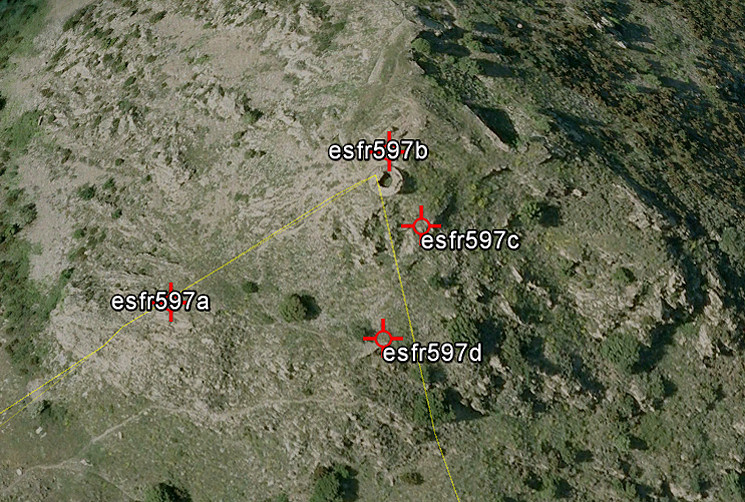
Finally, on this picture – the borderline shown on Google Earth. If we measure the territory lost to France, it’s a strip of approximately 5x500m.
But you might ask yourself: who cares? Well, I do!