Today I was proud – together with Jan-Willem Doomen – to be witness of the discovery of these lost intermediate markers. Michel Molia has been intrigued by the fate of these missing markers (see this page) and visited this remote mountain slope many times.
Four intermediate markers were placed in 1969 after a shift of the borderline. Markers 408 I and II are still there but 408 III and IV were nowhere to find. It was even unknown where they were placed since the official map was unfindable until recently. Michel Molia did a lot of research in the archives and managed to find the map. It was Philippe Barsacq who converted the original land surveyor-data into modern gps-coordinates.
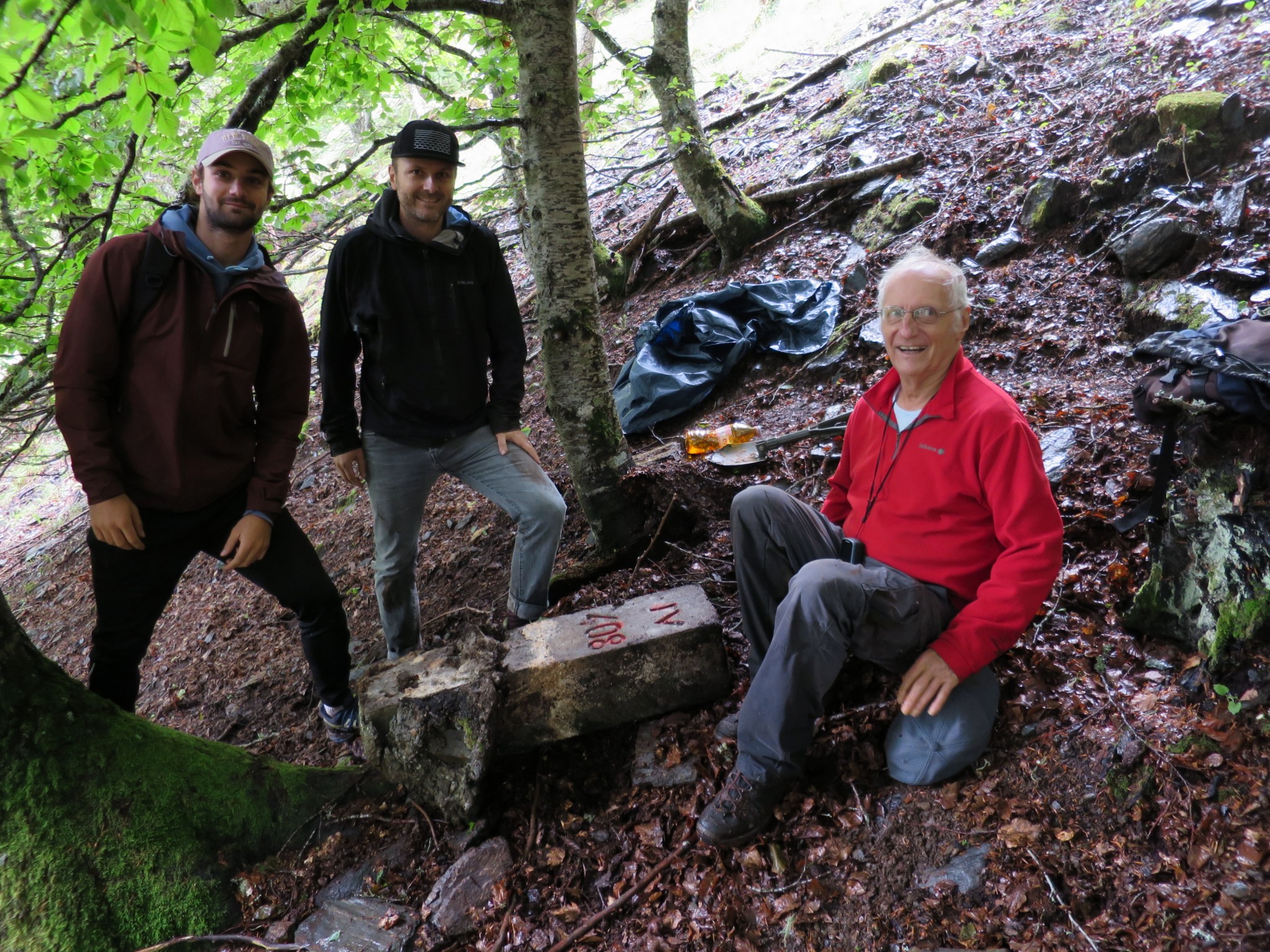
Today Michel returned with his son Xabi and grandson Thomas for the final search. When Jan-Willem and I arrived at the spot, they had already found 408 IV. In fact it was Xabi who found it first (the man in the middle).
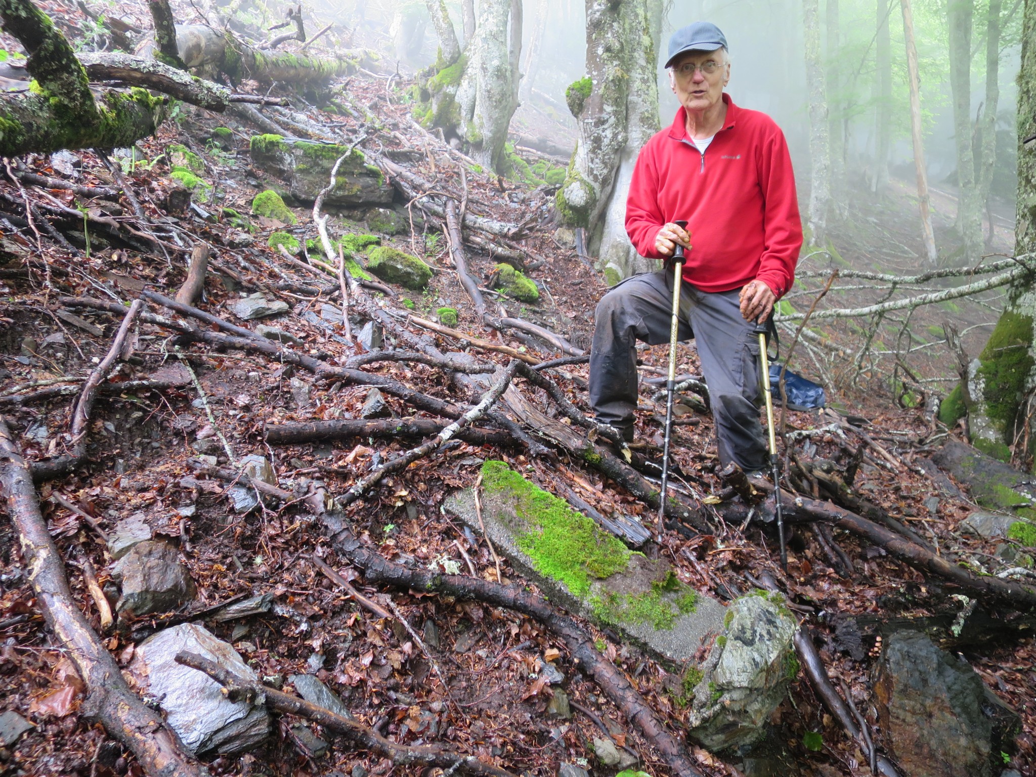
 While searching the steep hillside towards 408 II, it was again Xabi who found 408 III which has glided downhill, away from the stream.
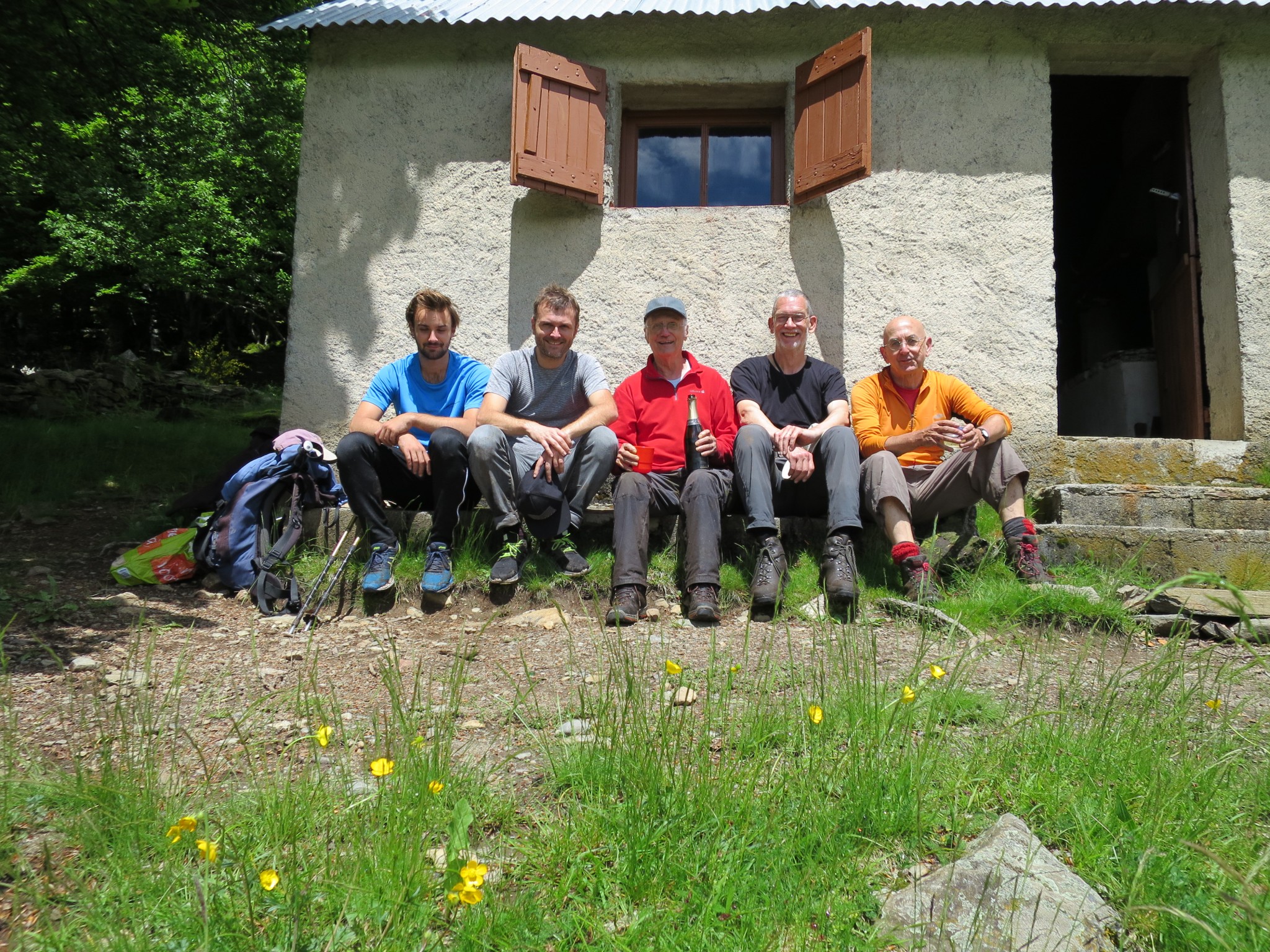
 So it was the Molia-family who has ultimately solved this mystery, all credits for them. Back at the cabane de Hérechet, a celebration with champagne and a picture of “la troupe de Michel”.

