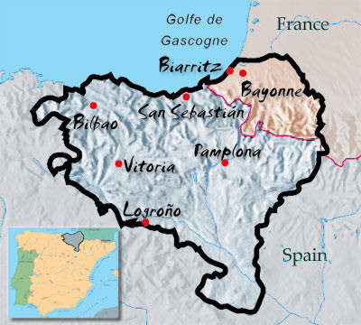
 More and more I encounter names of Basques, keen on finding and photographing their share of the bordermarkers of the Pyrenees. And that’s the range from bm001 to bm272 and that amounts to 40% of all esfr-bordermarkers!
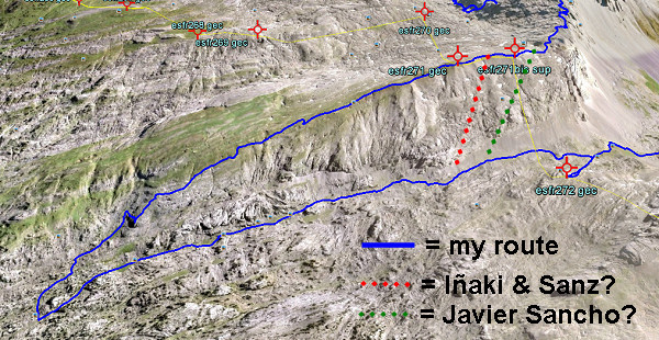
Carlos Sanz and Iñaki Vigor have even described a 206km-trail along those range in their “Travesía de los Mugarris”. And Javier Martínez Ruiz from Irún has visited the 1-235 range for many years and wrote a large article on them (see for both publications my literature-page). And there are several photo-sites, focussing on the Basque bordermarkers: see my links-page.
But other searchers have hardly left their trace on the internet, often you can’t even find an email adress to ask a question. Apparently they have stored their pictures and information in paper albums, understandable in the pre-internet era but now perhaps gathering dust forever. Sharing is fun & enrichment and so easy on the internet.
I’d love to get into contact with for example: Carlos Bardeci from Bilbao and Jesús Murueta, also from Bilbao but currently living in Toronto and known as “El canadiense”. Both names mentioned by Sanz & Vigor as being sources for their book, having found nearly all the Basque bordermarkers.

