
Jerry Whitmarsh – a Pyrenees-mountainwalker by heart- recently asked me if one could walk around Andorra along its borderline. He did the HRP in 2015 and found that Andorra had “the potential for some interesting walks”. If I could help him? Well let’s try.
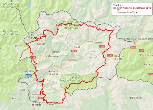
To start: there is already a circular walk in Andorra – the GRP – but it remains inside its borderlines:
So I designed a circular borderwalk around Andorra, using existing trails and trying to stick to the borderline. It visits everything you need to visit: both tripoints, bordermarkers 426 and 427, Pas de la Casa with its changing borderline and the pene-enclave Os de Civis.

But it’s a tough trip in a rough landscape: an estimated 10 days of hiking, distance 147km, total elevation of 22910m. Maximum altitude = 2899m, minimum altitude = 829m, average altitude = 2102m (statistics by Google Earth elevation profile).
Have a closer look on a fullscreen interactive map with this link
and/or download the .kml-file or the gpx.file.