
Jerry Whitmarsh – a Pyrenees-mountainwalker by heart- recently asked me if one could walk around Andorra along its borderline. He did the HRP in 2015 and found that Andorra had “the potential for some interesting walks”. If I could help him? Well let’s try.
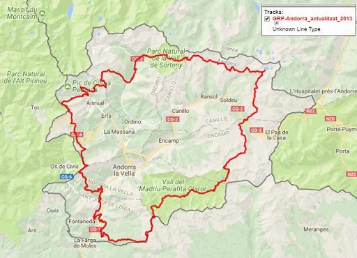
To start: there is already a circular walk in Andorra – the GRP – but it remains inside its borderlines:
So I designed a circular borderwalk around Andorra, using existing trails and trying to stick to the borderline. It visits everything you need to visit: both tripoints, bordermarkers 426 and 427, Pas de la Casa with its changing borderline and the pene-enclave Os de Civis.

But it’s a tough trip in a rough landscape: an estimated 10 days of hiking, distance 147km, total elevation of 22910m. Maximum altitude = 2899m, minimum altitude = 829m, average altitude = 2102m (statistics by Google Earth elevation profile).
Have a closer look on a fullscreen interactive map with this link
and/or download the .kml-file or the gpx.file.
Fantastic idea! Being a “mountain goat” myself, I wouldn’t,t mind participating at all – BUT, due to my age I will have to stay – and cry – at home. Pls keep all of us informed! Good luck!
Eef, I am honoured .. but now I will have to finish the circuit! I intend to start from l’Hospitalet pres l’Andorre on 5 July and I will follow the route you have kindly drawn, unless I find places where it seems I can keep even closer to the border ridges.
The initial blog post is here and I will do an update soon”
kind regards
Jerry
Well what an interesting challenge. You have an amazing talent to come up with very appealing routes. One for the future.
Best wishes
Barry
Pingback: Barry Arnold in the Pyrenees | The bordermarkers of the Pyrenees