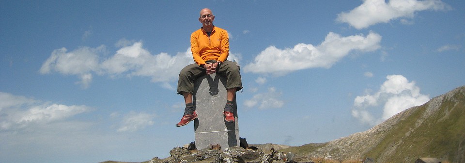
The previous post suggested that the official delimitation of the French-Andorran border would lead to the installment and engraving of bordermarkers from the eastern to the western tripoint. I already dreamed of new mountain trips along the ADFR-borderline.
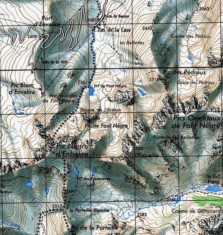
But Jean-Paul Laborie – border commissioner for France – wrote me that those new bordermarkers will only be placed in the Pas de la Case area, in particular between the Col des Isards and the lake of Estany de Font Negra. Let’s show the old borderline (from the tripoint of La Porteille Blanch to Pas de la Casa) on a map from the fifties.
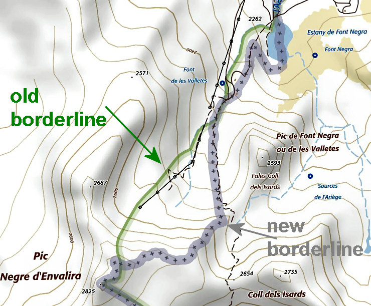
 Why (new) bordermarkers here? For a good reason because the borderline shifts to the east making Andorra larger. Let’s show it on a recent map:
 Why this change? Because Andorra wanted more access to watersources for the town of Pas-de-la-Casa, e.g. the lake of Estany de Font Negra which is from now on split in half. That implies a loss of terrain and water-access for the French community of Porta which heavily protested. Jean-Paul states that three borderstones will be placed and several crosses engraved between Col des Isards and the lake, their numbering still unknown. He adds that already two unofficial white delimitation-lines have been painted: one on the border bridge giving access to the town-center and one at the roundabout leading to the tunnel d’Envalira.
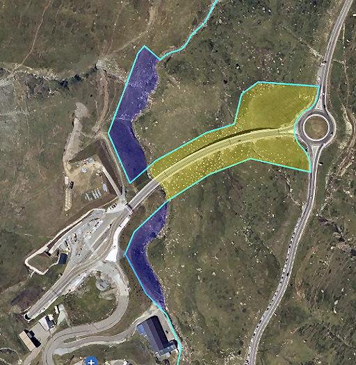
In 2001, there has been another border change in this area, in that case comprising of an equal exchange of terrain on either side of the borderstream. Andorra was building a tunnel just north of Pas de la Casa (tunnel d’Envalira) and wanted its own terrain on the French side of the border-stream for the building of road and viaduct leading to the tunnel. Blue = Andorran parcels ceded to France. Yellow = French terrrain ceded to Andorra.


Do we know when these markers will be put in place?